Contour survey, also known as detail and level survey in Sydney, acts as a map to help visualise the shape of your land. Registered surveyors in Sydney use this to make an outline to show the slope of your land which is usually done at the same time with soil testing. This is a very essential tool in the construction, landscaping, and environmental management field.
It is typically a necessary practice so you’ll have an idea on the existing features of your new block of land. It gives your builder an overall view of what your property looks like.
Planning to build a new home? Here’s a detailed guide of what is a contour survey. This article explores the ins and outs of contour surveys, including their purposes, methods, and implications for shaping land.
What’s the Purpose of a Contour Survey?
The main goal of contour survey is to outline the land’s elevations, slopes, and depressions through contour lines.
As you plan to build your new home, this data will help your builders to plan accurate measurements and features. Since every land is different, it is also necessary to plan your drainage system to manage soil erosion.
This also is an easy way to maximise your land and help your builder provide a fixed price. Getting a contour survey in Sydney before you build a house will also help your contractors to understand what they need to do to achieve your dream home.
This is crucial for:
Planning and design: Architects, engineers, and planners rely on contour surveys to design structures, roads, and other infrastructure.
Environmental conservation: By understanding the land’s topography, environmental scientists and conservationists can devise strategies to protect natural habitats, manage water runoff, and prevent erosion.
Land use management: Contour surveys assist in determining the most appropriate land use, whether for residential development, agriculture, or commercial purposes, in line with zoning laws and regulations.
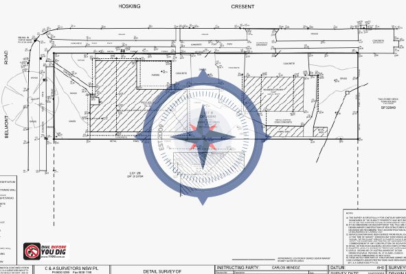
What Does Contouring Land Mean?
Contouring land involves altering the natural landscape to meet specific design and functional needs. This might include creating level platforms for construction, enhancing drainage, or improving landscaping aesthetics.
The process is guided by information from contour surveys, ensuring that changes to the land consider its natural features and potential environmental impact.
Do Contour Surveys Need to be Conducted by a Registered Surveyor?
Contour surveys in Sydney typically need to be conducted by a registered surveyor. This ensures that the survey is carried out according to professional standards and meets legal requirements.
Registered surveyors, like C&A Surveyors, have the necessary training, expertise, and accreditation to accurately conduct surveys, interpret data, and produce reliable results. Moreover, relying on a registered surveyor helps ensure the credibility of the survey findings.
When is a Contour Survey Carried Out?
A contour survey is typically carried out during the initial stages of a land development when information is required.
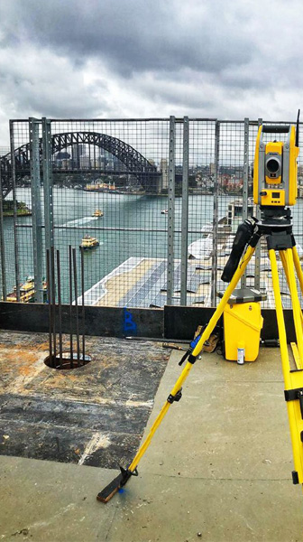
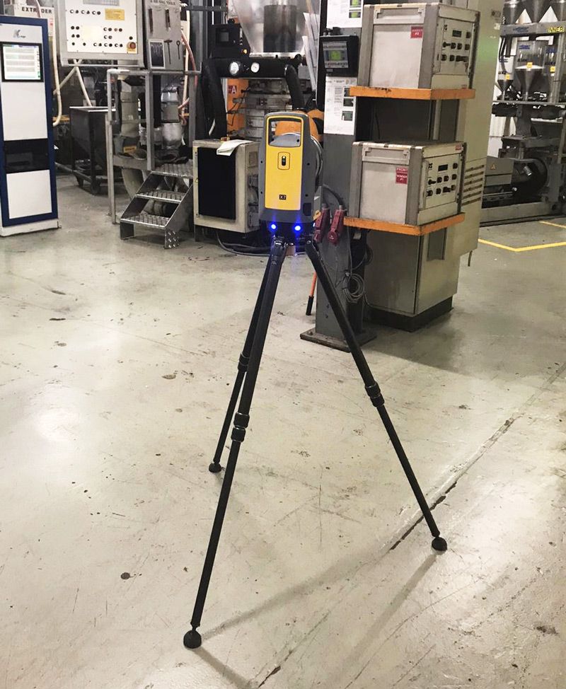
A registered surveyor in Sydney relies on tools like laser scanners to accurately measure elevation data. This will help reduce any chances of mistakes while building.
This includes situations such as:
- Before commencing any construction or development work on a piece of land.
- Before designing infrastructure, buildings, or landscaping projects.
- When assessing the feasibility of a proposed development.
- As part of environmental impact assessments or land-use planning processes.
- When determining property boundaries or resolving property disputes.
- To comply with local council regulations or development approval requirements.
What are the Features of a Contour Survey?
The most common features measured in Contour Surveys include:
- Title information
- Ground level (metres above sea level or a level benchmark to Australian Height Datum (AHD) when required)
- Contours
- Spot levels
- Site coordination relative to true north
- Location of existing man-made structures (including ridge and gutter heights, window position, and heights on the wall facing subject site)
- Location of existing adjoining man-made structures and ancillary structures (e.g. sheds, parking and pergolas)
- Fences
- Visible services (e.g. telecommunications pits and electricity metres)
- Drains
- Major vegetation (height, width, and sometimes diversity measurements)
- Kerb level and other important kerb features
- Proposed ridge and gutter heights for the subject building
C&A Surveyors include all important and additional features unique to the site that might impact development, such as water bodies. Additional features required by your council or architect/designer can be added on request.
How is a Contour Survey Conducted?
The process of conducting a contour survey in Sydney typically includes several steps, utilising advanced technologies and methodologies:
Site visit and initial assessment: Surveyors visit the site to understand its boundaries, significant features, and the scope of the survey required.
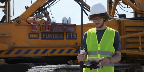
Data collection: Surveyors collect data points across the land using tools like GPS devices, laser scanners, and drones to represent various elevations and features.
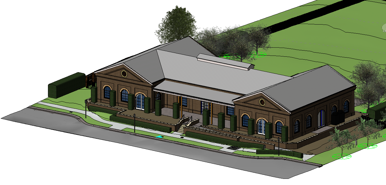
Data processing: The collected data is processed using specialised software to create a digital model of the land’s topography, accurately representing its contours and features.
Map creation: Finally, the digital model is translated into a contour map, visually displaying the land’s topography through contour lines, with each line representing a specific elevation.
Once all the relevant information is collected when conducting a detail and level survey, it is then calculated and drafted into a survey plan. After going through a three tier quality control process, it is then provided to you in DWG and PDF file formats for use by your designer.
Conclusion
Contour surveys play a vital role in the planning and development stages of any land-based project. By accurately mapping the land’s topography, these surveys provide a basis for informed decisions about land use, design, and environmental management.
In Sydney, where landscapes can vary dramatically, contour surveys ensure that development projects are designed with a deep understanding of the land’s natural characteristics, promoting sustainable and efficient resource use.
Whether you’re planning a residential development, a commercial project, or managing agricultural land, a contour survey is your first step towards a successful and sustainable outcome.
If you feel inspired and want to take the next step, click here for more details. Send us an inquiry here.


