Case Study
Solution for a Historical Building constructed in 1891 – 3D Laser Project
Project: Breakfast Point Waterfront Historical Property
Background:
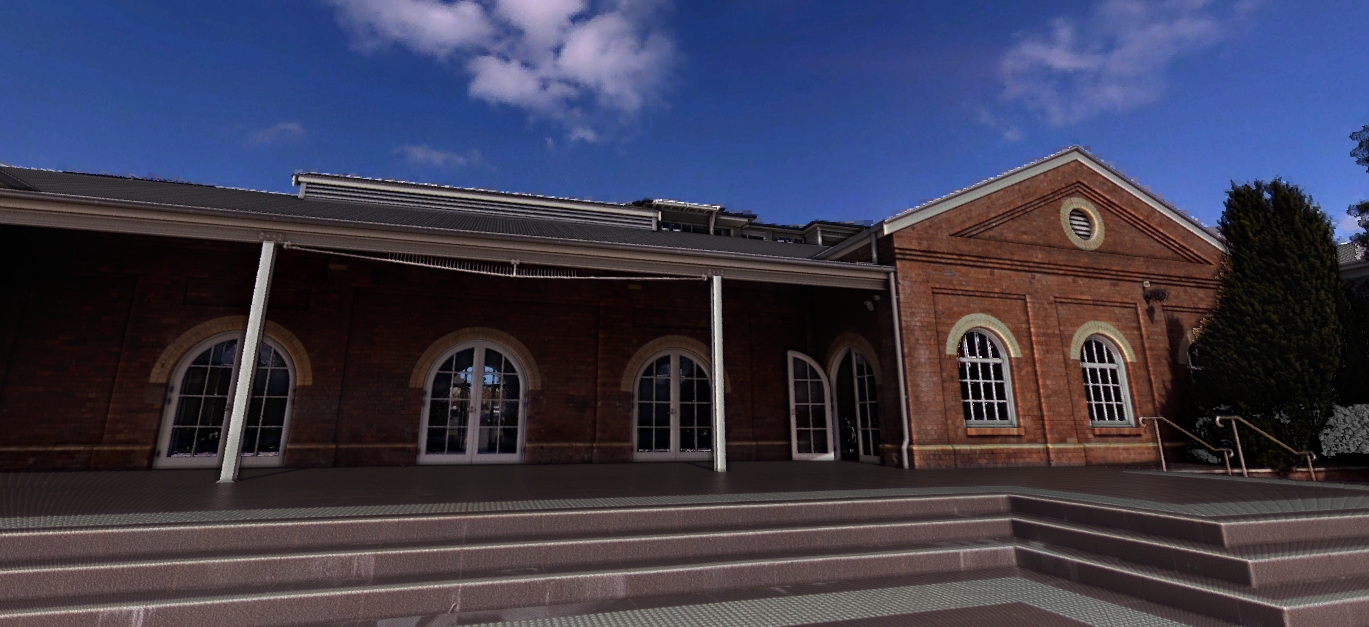
The Breakfast Point waterfront historical property was the largest landholding site on the Parramatta River at Breakfast Point. It gained its stars and credits for being used as a blacksmith workshop, dating back to 1891.
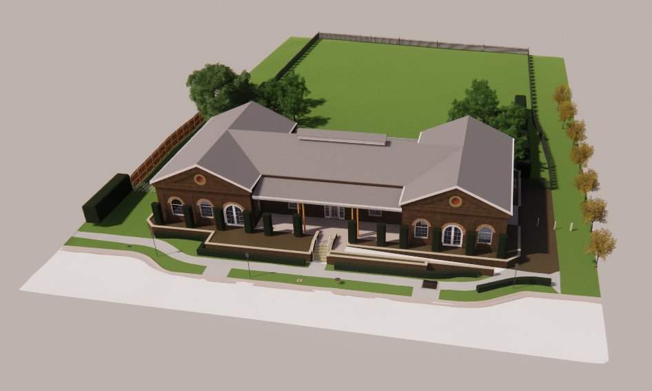
As such it has always been used by the developers as a model display suite. It gave semblance to potential buyers on how magnificent their new residence will look and feel.
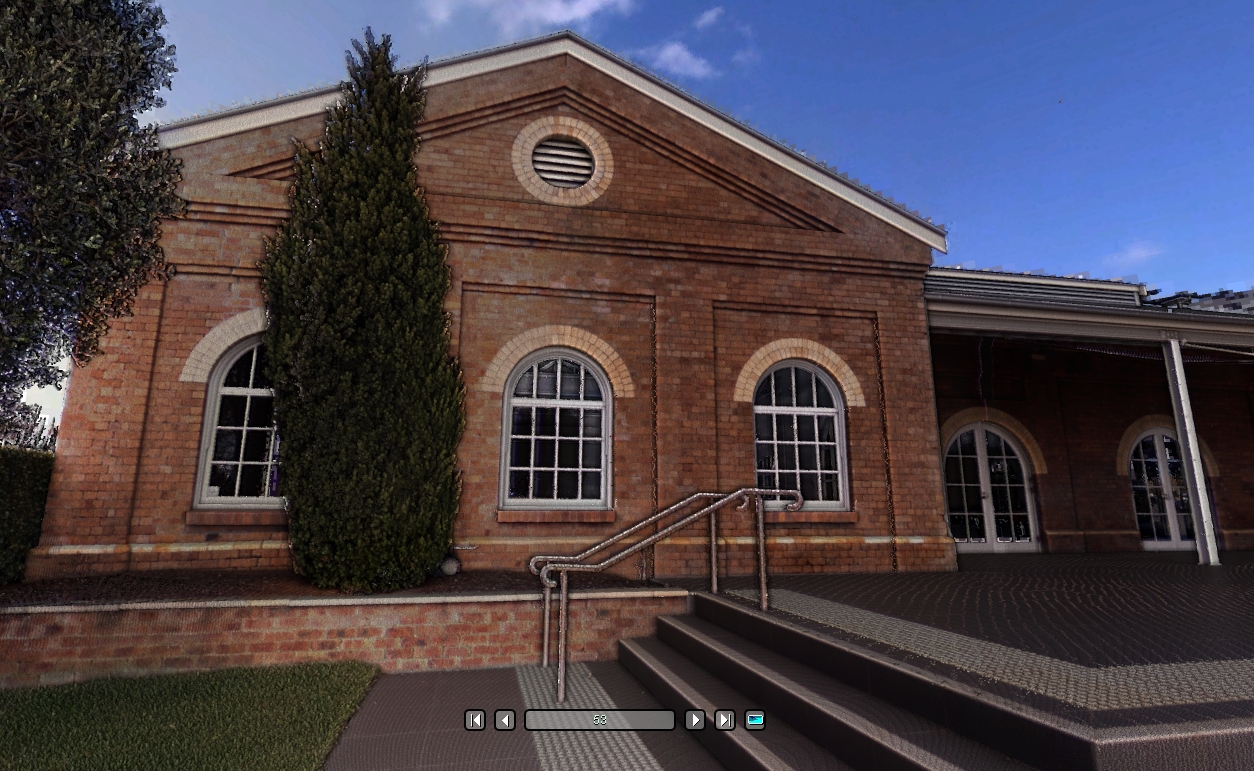
The building has uniqueness in design, with the high exposure ceilings and walls leading to ample natural light falling inside the premises: the veranda and the manicured lawns surrounding the building adds to its majestic look and appeal.
Challenge
Being a heritage site, the project was very prestigious, making it challenging to keep every element intact while attempting to restore the glory.
The modelling work had to be done with razor-sharp precision, with the use of practitioners, subject matter experts and cutting-edge technology.
In working with a property with such lineage and character, the obvious challenge was to ensure nothing was damaged in the existing property. With the detail required to remodel, a typical manual survey based on the floor plans would not have sufficed.
Planning renovations without compromising the originality was a very tricky task since it meant ensuring the original beams, columns and structures are kept.
Historical buildings are known to have their constraints of specific deep confined spaces, and the areas can be pretty inaccessible. Yet, they need to be mapped, modelled and renovated. This property with such a strong lineage was no different.
The details that architects required for detailing the renovation points within the council’s restrictive approvals purview were yet another significant weight to be lifted and moved ahead.
Overall, a daunting task, however, one that had to be finished with passion and precision.
Strategy
The overall strategy to restore the property with the heritage kept intact was based on:
Site Surveys:
This included a thorough and granular review of the title and the deposited plan of the site. This was of utmost importance to identify the permanent marks near the properties, boundaries and be sure they were associated with the lot.
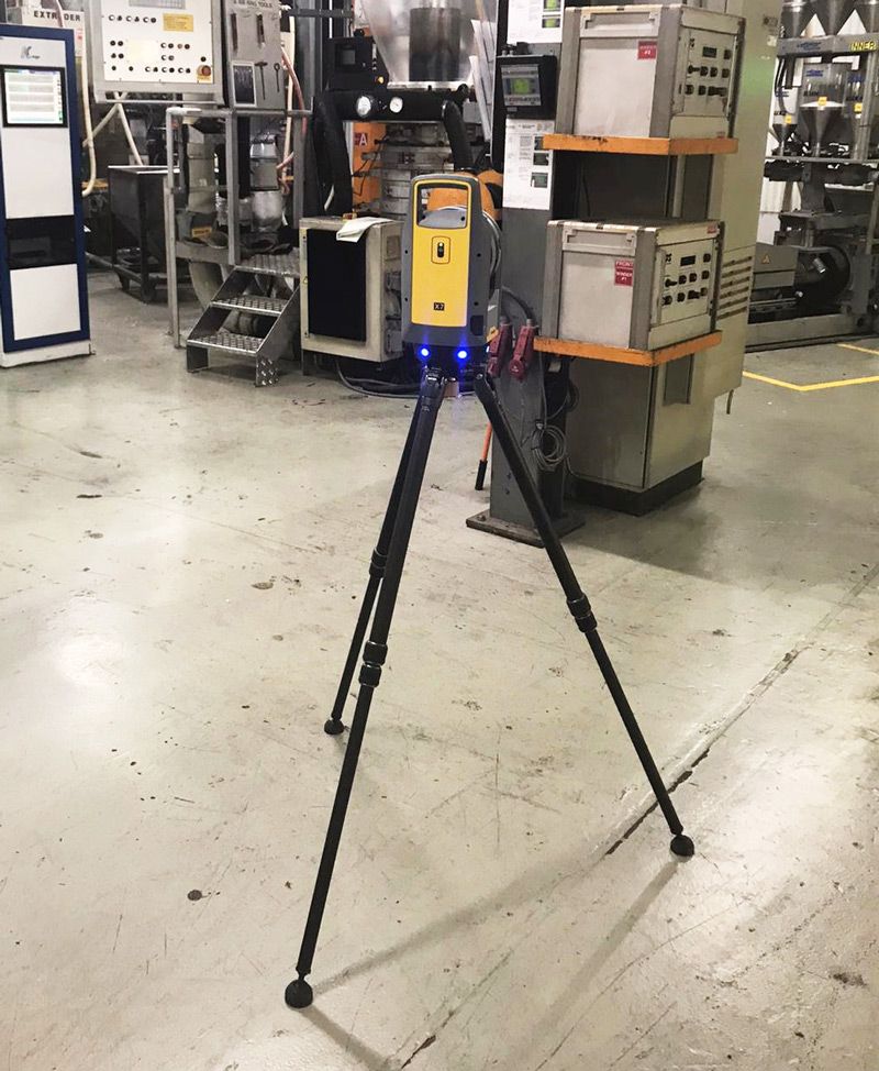
Next came the operational planning of the steps to do the actual survey, the number of plans to be validated, and the setup of 3D survey equipment. After that, the external work was initiated from the street all the way to the backend of the property.
After the initial work at the rear end of the property was initiated successfully, the internal scanning was initiated following a proper work breakdown strategy.
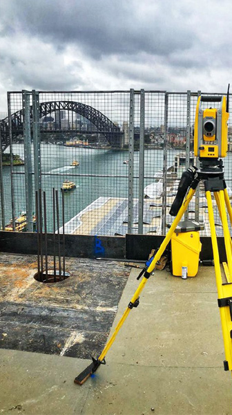
To georeference the areas that were critical, a conventional total station was also used. This helped in providing required checks against the point cloud as per deposited plans with marks to gain AHD heights.
Internal Floor plans analysis
Floor plans are an essential part of building design and renovation, interior design and architectural projects. The processes and people involved in the planning stages must be competent and careful.
Being a critical part of the survey, it is essential that all structural beam information is captured accurately. The entire floor area and heights are also captured so that the integrity of the heritage structure is never compromised.
3D Modelling
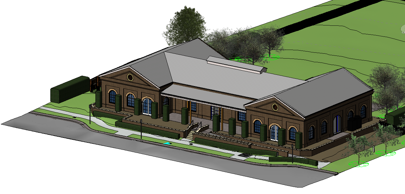
After the site survey, the point cloud data was registered and processed. This is a very precision-oriented task. The point clouds were used to develop a multitude of visualizations and render a customized design of the internal and external renovation. The point cloud was georeferenced based on the survey to determine the boundary identification.
With the help of Autodesk Revit 2017, state of the art 3D models were created in the point cloud. We accomplished the challenge of ensuring the right architectural insights regarding structural beams, heritage windows and columns were well accounted for and precisely as they were.
Renovation and restoration
The project deliverables were provided in DWG and PDF file formats, enabling the customers to have a quick and efficient design process.
Solution
Duration of the project:
1 day on site by competent professionals
Deliverables:
Finalized the deliverables with six days of the site work being carried
out. This included the Boundary/Identification survey, which was
signed and approved by a Registered Surveyor
Strategic and critical milestones:
These included fieldwork, data processing and
drafting, precision led modelling and a rigorous
Quality Assurance process
Activities Undertaken:
Initial workflow survey, field surveying, data processing, modelling,
drafting & Quality Assurance
Overall time taken:
56 -60 hours.
Deliverables:
3D Dwg File, signed PDF plans, Revit plans and Videos
Current status:
Completed the project within given timelines with no cost overruns.
