Any property owner or developer needs to perform a land survey if they need to know the exact boundaries and features of their property. This is important for construction purposes as well as subdivisions, easements and more.
Accordingly, a land surveyor provides detailed reports about the features of a property. These include heights, levels, boundary lines, the distance of existing features to the boundary and the location of any easements.
4 Examples of When To Hire A Professional Land Surveyor
There are many reasons why you may need a professional to conduct a land survey of your property. Here are four common examples:
Determining Boundary Lines
A registered land surveyor can determine boundary lines for an existing property or a property in development. Determining boundary lines gives a property owner the exact measurements for where their property starts and ends. These are legal boundaries that could assist in resolving boundary disputes with neighbours.
Further, potential property buyers can employ a land surveyor to locate the existing features of a property in relation to the boundaries to ensure there are no encroachments by or upon the property. This ensures that the buyer gets what they pay for.
A property owner may want to extend their existing building. Knowing the boundary lines will show them where they can extend without building on a neighbour’s property.
Locating Visible Utilities
Utility companies and local councils have the right to maintain their assets even if it is on someone’s property. So, before starting any type of construction, it’s very important to know the location of all utilities.
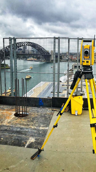
Land surveyors can locate visible services such as drains, manhole covers, electrical and telephone poles, and any other kind of visible utility that might be on a property.
Utility companies may have certain restrictions to adhere to. A land survey ensures that new developments are designed in such a way that either does not affect the utilities at all or allows for requirements for the protection of the assets to be satisfied.
For example, there could be a sewer running through the property that requires approval by Sydney Water for concrete encasement.
Subdivisions, Easements And Access
If a property owner or a developer wants to subdivide a property, there are a myriad of planning regulations they need to follow. This makes it important for a town planner to assess the property to determine how many lots can be achieved and what their proposed future use might be.
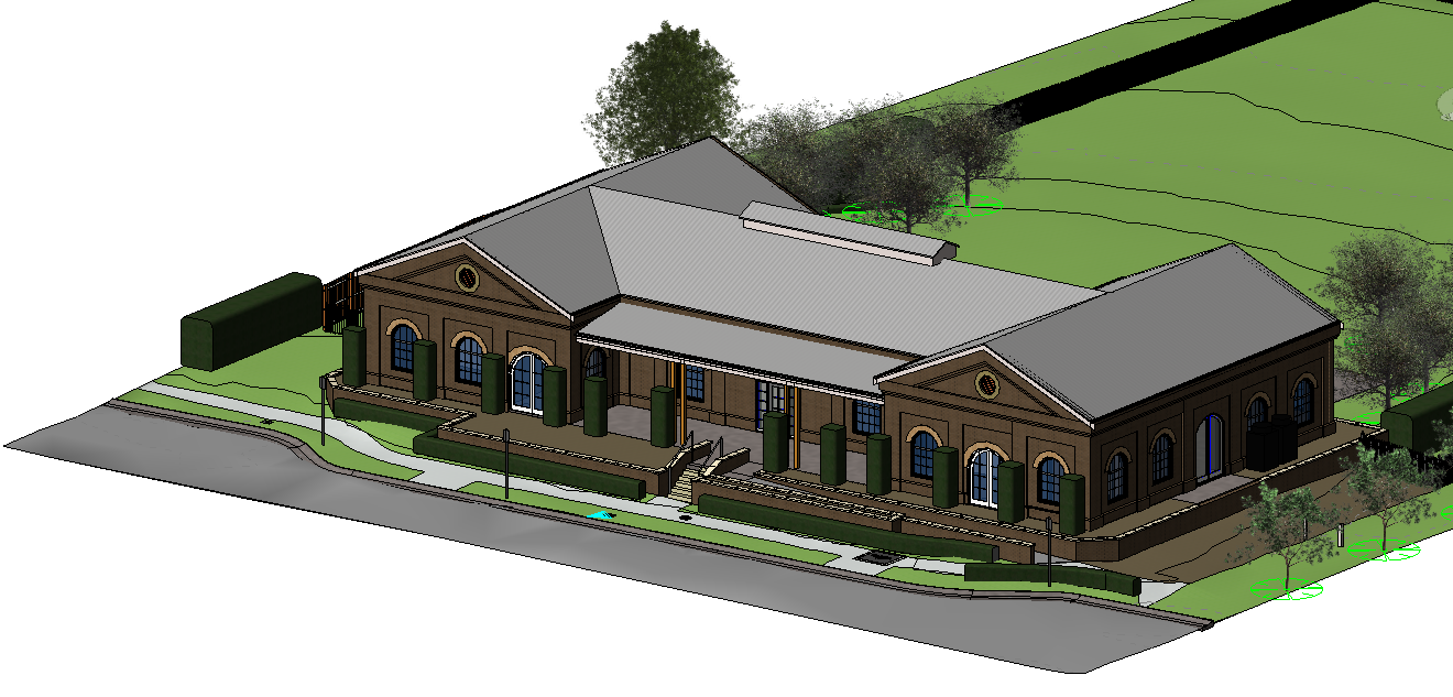
In order for a town planner to assess the property and a subdivision to be designed, a land surveyor is required to complete a topographical survey showing the existing features and levels of the land.
An easement is a portion of a property that an adjoining neighbouring property has legal use of for a specific reason. These reasons can include, draining water and access. There are two methods to legally register an easement; by creating and registering a plan and by creating and registering a dealing document. The required method depends on the design of the easement and various other factors which the land surveyor will determine at the time.
Construction Projects
Architects, engineers, and construction experts need land surveyors in every stage of the construction process.
In the design stage, land surveys provide architects information about:
- Levels of the land
- Existing features
- Adjoining neighbouring properties
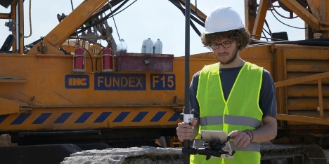
During the construction stage, land surveyors place physical marks as per the approved architectural plans for various trades such as excavators and concreters. Land Surveyors then provide a sketch showing the location of the marks and the required measurements.
Lastly, the land surveyor conducts a final survey and report at the completion of construction. The final survey shows finished heights and the location of the new build in relation to the boundaries. This survey is a mandatory requirement for obtaining the Occupation Certificate from the Principal Certifying Authority.
Conclusion
Land surveyors generally plot out the boundary lines for a site or property. They also record specific features of the property. These can include natural or man-made monuments, easements, or utility lines.
It is necessary to employ a land surveyor if you want to define boundary lines, construct a new building or subdivide your property.


