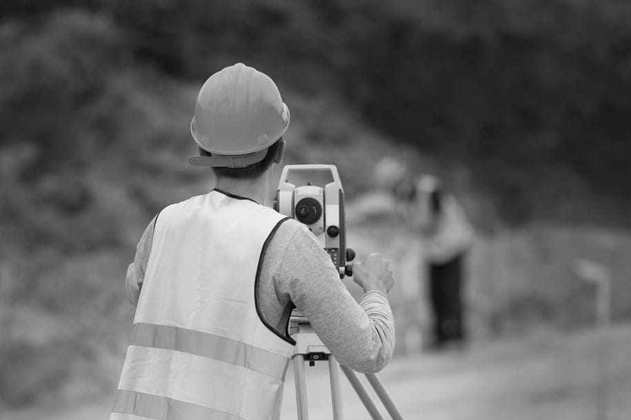
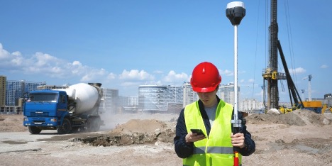
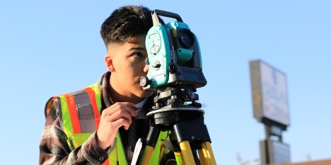
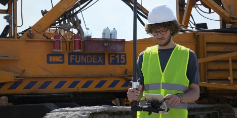
Land surveying, once a time-consuming and labour-intensive process, is now experiencing a remarkable transformation thanks to drone technology. These agile, high-tech tools are changing the way surveyors map, measure, and assess landscapes with unprecedented speed.
From capturing aerial imagery to creating detailed 3D models, drones are not only improving accuracy but also making it easier to access remote or hazardous locations.
In this article, we’ll explore how drones are revolutionising the field of land surveying, streamlining workflows, and setting new standards for efficiency and safety.
Accelerating the Surveying Process: Faster Data Collection and Processing
Drones have dramatically reduced the time it takes to gather and process surveying data. Traditional land surveying methods often require days or even weeks to complete, especially for large or complex sites. With drones, surveyors can cover vast areas in a fraction of the time, capturing high-resolution images and measurements in just a few hours – allowing projects to move forward faster, minimising delays and improving overall efficiency.
In addition to collecting data more quickly, drones streamline the processing phase and allow surveyors to upload aerial data for analysis and create accurate maps, 3D models, and topographic surveys in record time. This seamless transition from data collection to processing helps reduce bottlenecks and allows for quicker decision-making in projects.
Reaching the Unreachable: Accessing Difficult or Hazardous Terrain
One of the most significant advantages of using drones in land surveying is their ability to easily access areas that are difficult or dangerous for surveyors to reach. Steep cliffs and remote locations that would require specialised equipment or put surveyors at risk can now be surveyed safely from the sky. Drones can fly over challenging terrains, capturing critical data without the need for physical access and reducing the risks associated with traditional methods.
Maximising Efficiency: Cost-Effectiveness in Projects
Drones have significantly reduced the costs associated with land surveying by streamlining both data collection and analysis processes. Traditional methods often require extensive manpower, and longer timeframes, which can drive up expenses. In contrast, drones can cover large areas quickly with minimal crew and cutting down labour costs. The ability to gather data more efficiently translates into significant savings for projects, making drones an attractive option for companies looking to optimise their budgets.
Seeing in New Dimensions: Aerial Mapping and 3D Modeling
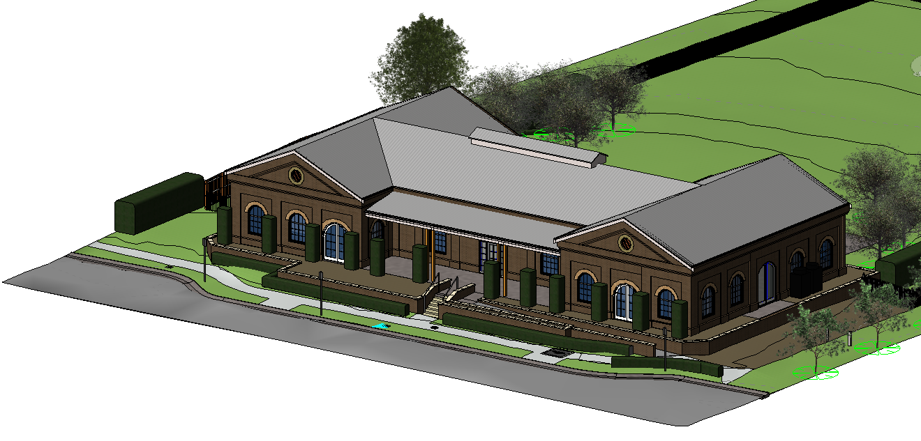
By capturing data from multiple angles and heights using advanced cameras and sensors, drones help generate realistic 3D models of landscapes, buildings, and terrain. These models provide a more comprehensive view of the surveyed area, enhances the quality of the maps and allows surveyors to cover more ground in less time.
Whether for construction, environmental assessments, or urban planning, the ability to create detailed 3D models from drone data is revolutionising the way surveyors visualise and interact with the land.
Revolutionising Land Surveying Practices
The integration of drones into land surveying is undeniably transforming the industry, offering unprecedented advantages in data collection and access to challenging terrains. As technology continues to evolve, the capabilities of drones will further enhance efficiency and sustainability in surveying practices; streamlining workflows and opening new possibilities for innovative applications across various sectors.
For those seeking top-tier land surveying services in the construction industry in Sydney, C&A Surveyors Sydney stands out as the best option. Their expertise in utilising cutting-edge drone technology ensures precise and reliable results for every project. Visit our webpage for more information on our services and to get in touch with us for your land surveying needs.

