When you pass by a new skyscraper, marvel at a smoothly paved highway, or enjoy the convenience of a well-laid drainage system, have you ever wondered about the intricate teamwork behind these projects? Engineering and land surveying are two closely interconnected disciplines that make these developments a reality. Let’s dive into how their collaboration shapes our modern world and why it matters for your next project.
The Power of Engineering: Turning Ideas into Reality
Engineers are the architects of our infrastructure. From civil engineers who design bridges and highways to environmental engineers who create sustainable water systems, their work is about solving real-world problems and turning innovative ideas into functioning structures. They plan, design, and ensure projects are safe, efficient, and built to last.
But there’s a crucial catch: Engineers can’t bring these designs to life without first understanding the land they’re working with. And that’s where land surveyors come into play.
The Art of Land Surveying: Mapping the Path to Success
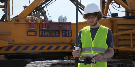
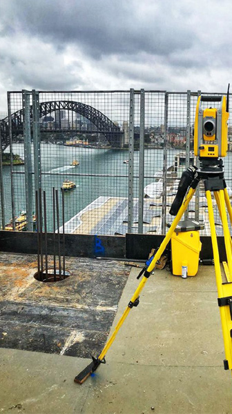
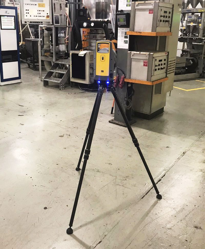
Land surveying is the science of measuring and mapping land to get a precise picture of its features and boundaries. Surveyors are the unsung heroes who lay the groundwork for engineering marvels. Using advanced equipment like drones, GPS, and 3D laser scanners, we surveyors capture every detail of the land – from its elevation and slopes to hidden hazards like unstable soil or flood zones.
This data isn’t just helpful; it’s essential. Surveying reports ensure that engineers have a clear and accurate understanding of the terrain before they even start designing. Think of land surveyors as the navigators who chart the safest and most efficient course for a project’s success.
Where Engineering Meets Land Surveying: A Partnership That Shapes Our World
The collaboration between engineers and land surveyors is more than a simple hand-off of information. It’s a dynamic partnership, with both disciplines continuously working together to deliver successful outcomes. Here’s how this teamwork impacts projects from start to finish:
· Informed Site Analysis and Planning. Before breaking ground, surveyors provide a comprehensive understanding of the land through detailed maps and data. Engineers rely on this information to assess the project’s feasibility, decide on the best design approach, and plan for utilities, drainage, and more. Without accurate site data, even the most brilliant designs would fall flat.
· Precision in Design and Development. Survey data is the foundation of every design. Engineers use precise land measurements to create blueprints that account for every slope, boundary, and obstacle. This meticulous planning ensures that structures are safe, stable, and aligned with existing infrastructure. Imagine designing a building without knowing where the land dips or rises—that’s a recipe for disaster!
· Navigating DA Conditions and Compliance with Easements can be a maze, but surveyors help pave the way. By verifying property boundaries, mapping easements and
solving DA conditions, surveyors set engineers up for success. This collaboration means your project won’t just meet the rules – it will do so efficiently, without costly legal hiccups or delays.
· Flawless Construction Setout. As construction begins, surveyors mark out exact locations for each component of the project. This step, known as construction set-out, translates the engineer’s plans into reality on the ground. It’s all about precision, ensuring that every foundation, road, or wall is built exactly where it’s meant to be. For property owners, this reduces errors, speeds up timelines, and minimizes headaches.
· Ongoing Monitoring and Quality Assurance. The work doesn’t stop once construction begins. Engineers and surveyors team up to monitor progress, ensuring everything aligns with the original design. If unexpected issues pop up (because let’s face it, they often do), this partnership allows for quick problem-solving, keeping your project on track.
· Final As-Built Surveys: The Finishing Touch. When the dust settles, surveyors conduct as-built surveys to document the completed structure. This ensures every detail meets safety and performance standards. Engineers then review this data to confirm that the project has been built as planned, giving everyone peace of mind.
Technology: The Ultimate Connector
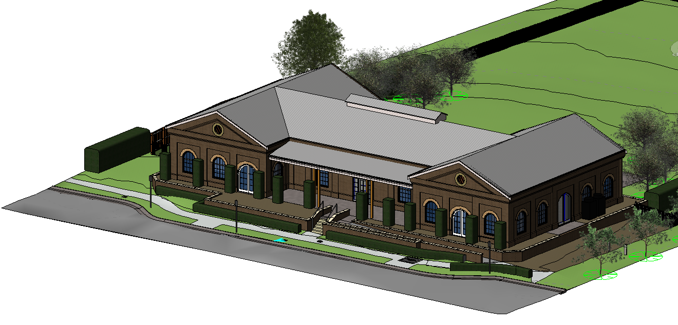
Thanks to advancements like 3D laser scanning, Geographic Information Systems (GIS), and Building Information Modelling (BIM), the bond between engineering and land surveying has only grown stronger. These tools allow for seamless data sharing, breathtakingly accurate visualisations, and a higher level of precision than ever before. For example, our own projects – like the heritage work on Kent Street in Sydney – showcase how cutting-edge technology enhances collaboration. By integrating these tools, we ensure your project is efficient, safe, and cost-effective from start to finish.
Why This Partnership Matters to You
When you invest in a project, whether it’s a new home, a commercial development, or an infrastructure upgrade, you want every detail to be perfect. The seamless collaboration between engineers and land surveyors is what makes that perfection possible. From avoiding costly mistakes to maximising land use and ensuring long-term safety, this partnership is the backbone of successful construction. Investing in both is a surefire way to build confidently, knowing you have experts guiding you every step of the way.

