Or speak to someone today on (02) 9167 0209
01
3D Laser Land Survey
3D land surveying has been around for quite some time now. The ground-breaking and innovative way of land surveying has a notable and positive impact on building projects worldwide. Yours could be next.
At C&A Surveyors, we use the latest technology to provide greater accuracy for our clients. With laser scanning, our professional survey team can collect massive amounts of data in a short space of time. This way, we can provide a digital representation of your land more efficiently.
What is a 3D Land Survey?
Land surveying is an important part of the building planning process. It will determine and map out land boundaries as well as the features of a land parcel.
A 3D land survey is exactly what its name suggests. It is a 3-Dimensional plan of a plot of land or existing structures.
Laser scanning technology turns real-life landscapes and existing properties and infrastructure into digital 3D models that are easier to work with.
How Does it Work?
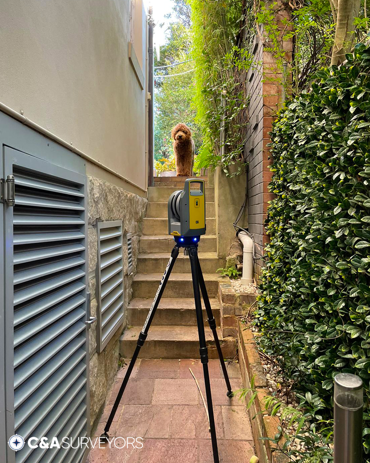
Our land surveyors set up a rotating 3D laser scanner that shines a laser beam over the exterior surface of a landscape, existing infrastructure or buildings.
We then move the scanning device into different positions around the site for construction. This ensures that we collect data at every angle to produce a more accurate survey report.
3D laser scanning merges information from two points to create a point cloud. Millions of different points are all captured together as 2D and 3D images and are then combined to form one working 3D model. The digital point cloud data is stored and is easily accessible.
Request a call back
02
Why Choose Laser Scanning Surveys?
Speed
Laser scanning is an extremely efficient method of land surveying. This is because laser scanners are a more advanced technology that can collect a vast amount of data in a very short period of time. As such, it is much less time-consuming than other surveying methods.
Precision
The final product will contain more accurate measurements of real-time data in the form of point cloud data.
Laser scanning software allows you to check and recapture data on-site if needed. This can further increase the accuracy of the survey.
Usually, when work is done quickly, the chance of things being miscalculated is higher. With 3D laser scanning, the exact opposite happens.
In a fraction of the time that traditional methods take, laser scanning can produce more accurate survey results.
Quality
Because the 3D working model of your site is highly accurate, we are able to produce a high-resolution and realistic representation of your land parcel.
As a result, you can easily evaluate the land and make changes before any infrastructure projects take place. This helps to ensure greater success by avoiding problems and mitigating any risk before construction begins.
Highly-detailed Results
Before 3D laser scanning for surveys, you’d just get a simple 2D representation of a mapped out area with some additional topographical information and photographs. Now, we can collect highly detailed point clouds to create a digital model with not only length and width but depth too.
Laser scanners can also capture areas on the site or surrounding areas that are hidden or out of reach. This vast data collection of data points ensures that our 3D laser surveys are comprehensive and accurate.
Safety
3D laser scanning reduces the onsite risk for property owners and anyone working on the site. With 3D laser scanning, you get a detailed look at the features of the land – including any hazardous or inaccessible areas. This can help mitigate any potential health and safety risks.
Landscapes or sites that require surveying and aren’t easily accessible will be easier to capture with 3D laser scanning.
In addition, no natural habitat gets disrupted with 3D laser scanning, making it environmentally friendly too.
03
Save Time and Money with 3D Laser Scanner Surveys
For larger land parcels that would take weeks to survey, hiring an experienced laser land surveyor is a more cost-effective option. Using laser scanners will be much quicker than other survey methods.
At C&A Surveyors, we offer 3D laser scanning to provide our clients with the best possible results in a short turnaround time.
Laser scanning is fast. This means that you can get the survey results quicker, giving you more information for your project to help with the planning phase. With highly accurate scan data results, you can also reduce the room for error throughout the project.
Ultimately, laser scanning can help speed up the project lifecycle, saving you both time and money.
Get in Touch for 3D Laser Scanning Surveys
If you are looking for fast, accurate land surveys, then a 3D laser survey is the right choice for you.
At C&A Surveyors, we offer a variety of different surveys and use state-of-the-art technology to provide highly detailed survey results for our clients. Contact us today for more information.

Request a fee proposal today!
"*" indicates required fields


