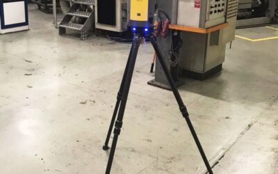
Land surveying, once a time-consuming and labour-intensive process, is now experiencing a remarkable transformation thanks to drone technology. These agile, high-tech tools are changing the way surveyors map, measure, and assess landscapes with unprecedented speed....
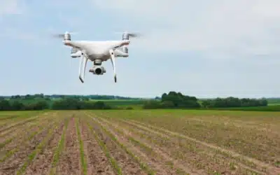
The Aerial Advantage: How Drones Are Revolutionising Land Surveying
read more