











Wollondilly spans 2,560 km² across south-west Sydneys growth frontier, including Picton, Wilton, and Appin. It combines farming land, new estates, and flood-prone lowlands.
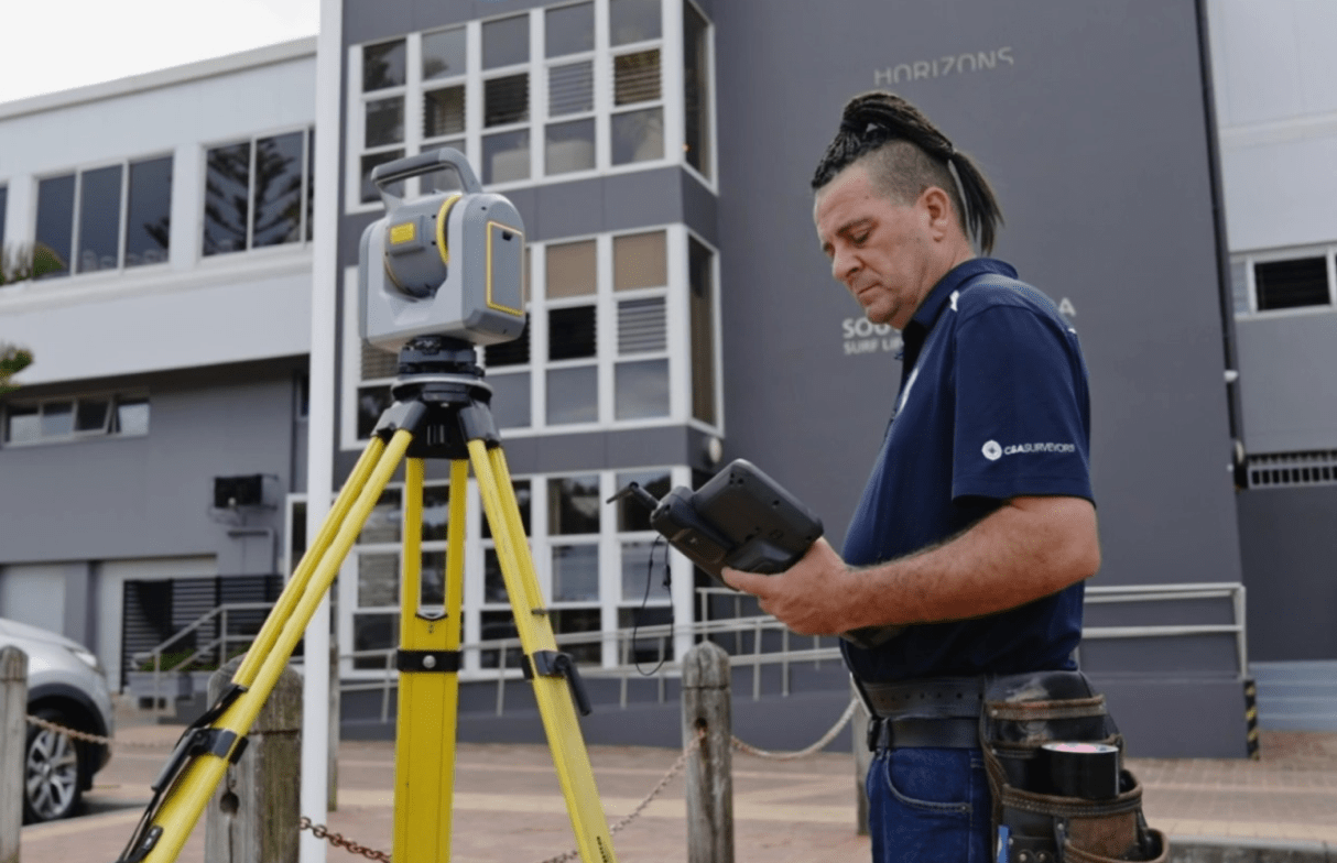
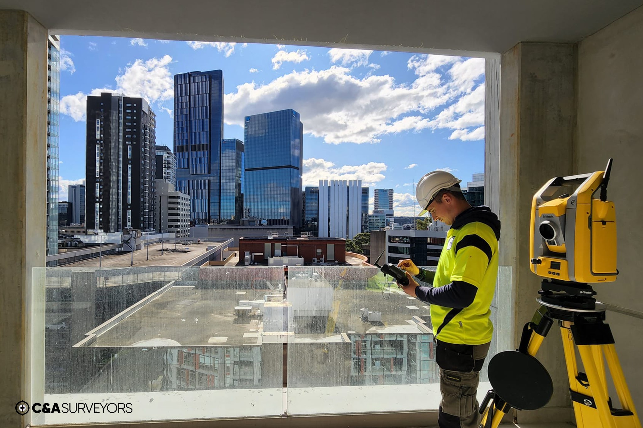
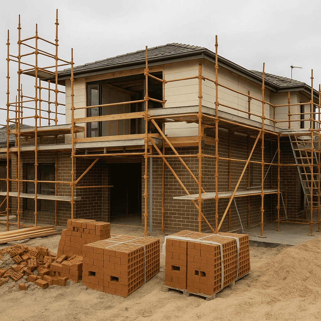
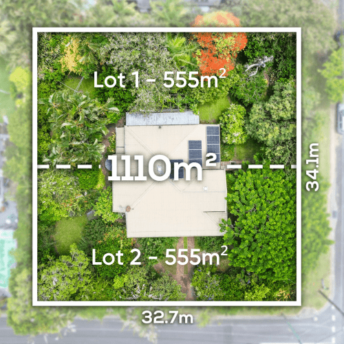
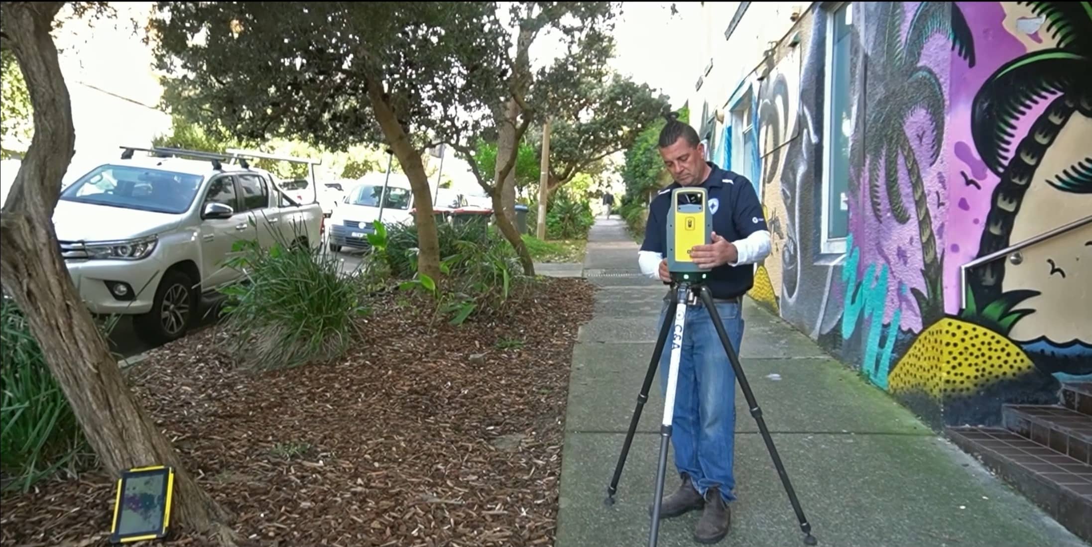
Surveying includes greenfield subdivision staging, 3D Surveying, rural easement layout, and construction set-outs near waterways and hilly terrain.
Key features include Cataract Dam, Razorback Range, and Pictons historic village.
C&A Surveyors works with developers and landowners across Wollondilly to deliver DA-ready terrain plans, WAE documentation, and subdivision designs aligned with the shires growth area planning codes.